Place-based learning in a Public Lands History Center’s field workshop
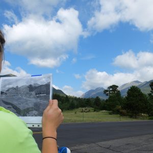
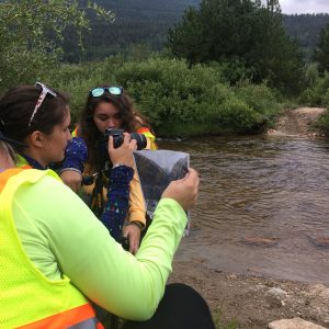
Photo: Kate Oldberg and Hannah Ashley prepare to photograph West Horseshoe park at PPL ‘17.
What do you see when you drive through Rocky Mountain National Park on Trail Ridge Road? If you’re like most visitors, you probably encounter stunning views of the alpine tundra, plentiful wildlife, and, of course, your fellow park visitors. Participants in this year's Public Lands History Center's annual field workshop called Parks as Portals to Learning had the opportunity to see something else as they drove along the road—namely, its history.
Place-based history
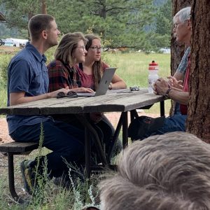
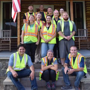
Parks as Portals to Learning (PPL) developed as a means to immerse students in the world of the National Park Service’s professional land managers. It originated in 2013 as a collaborative effort between the Public Lands History Center (PLHC) and the Continental Divide Research Learning Center at Rocky Mountain National Park. Within the National Park Service, park staff are expected to supply well-researched, thorough answers to complex questions about the landscapes and resources they safeguard; they learn how to make themselves experts in specific aspects of the park’s management in a short amount of time. PPL replicates that environment by presenting a team of students with a management challenge and a week to come up with research findings, a presentation to park staff, and a useful deliverable. As they conduct their research in the archives and out in the field, students live in the park and interact with National Park Service staff at all levels, from seasonal workers to top-level managers.
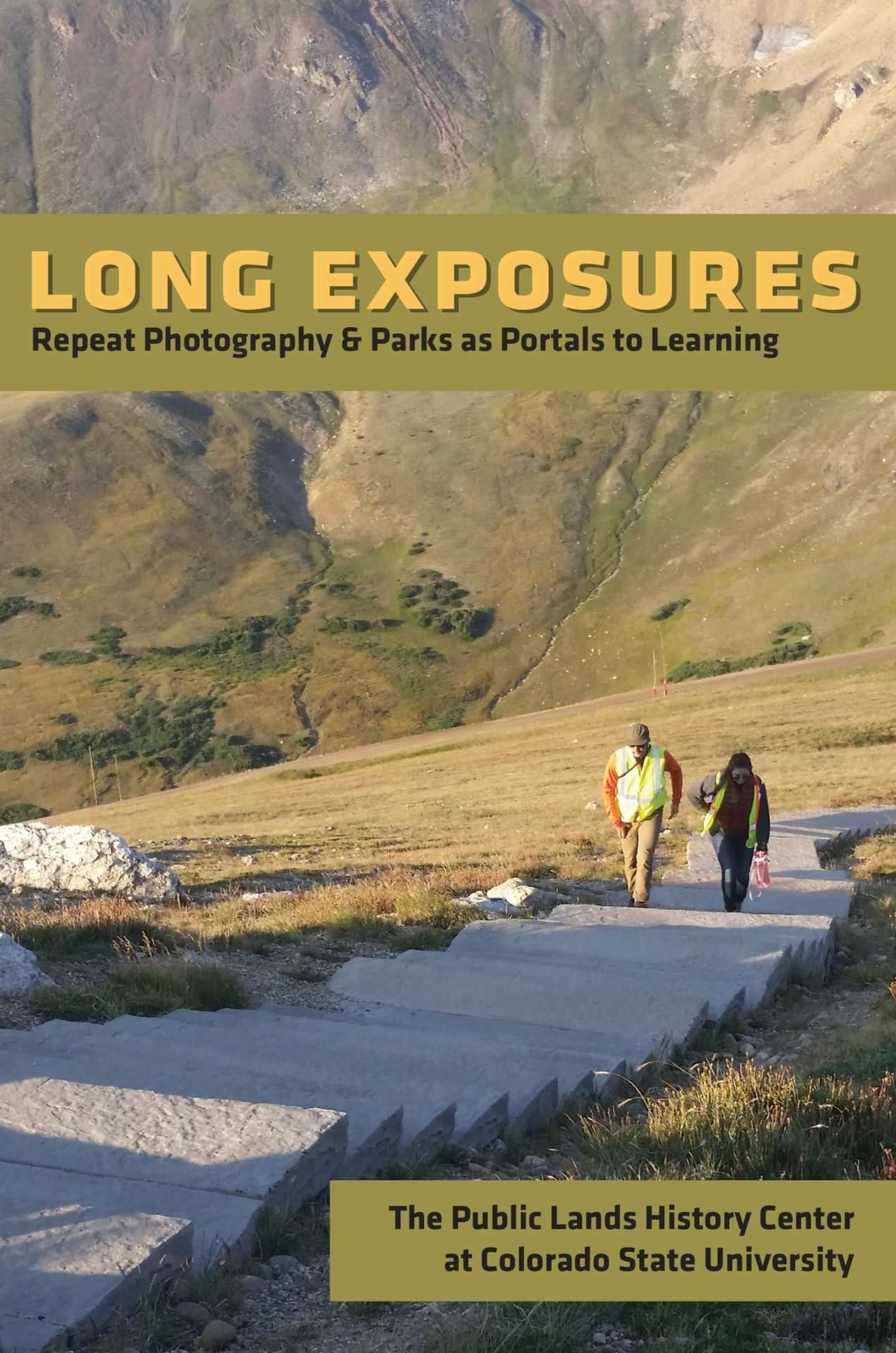
The field workshop’s study area, products, and scope have only grown more ambitious with time. Rocky Mountain National Park has funded extensions of PPL research on a number of occasions, with topics ranging from managing and removing invasive plant species to digitally interpreting cultural landscapes. In 2018, the PPL published a book entitled Long Exposures: Repeat Photography and Parks as Portals to Learning, a collection of scholarly essays written by Department of History students and produced by the CSU English Department’s Center for Literary Publishing. That track record may seem hard to top, but the PPL participants made a surprising discovery in 2019 about one of America's iconic roads.
An unexpected discovery
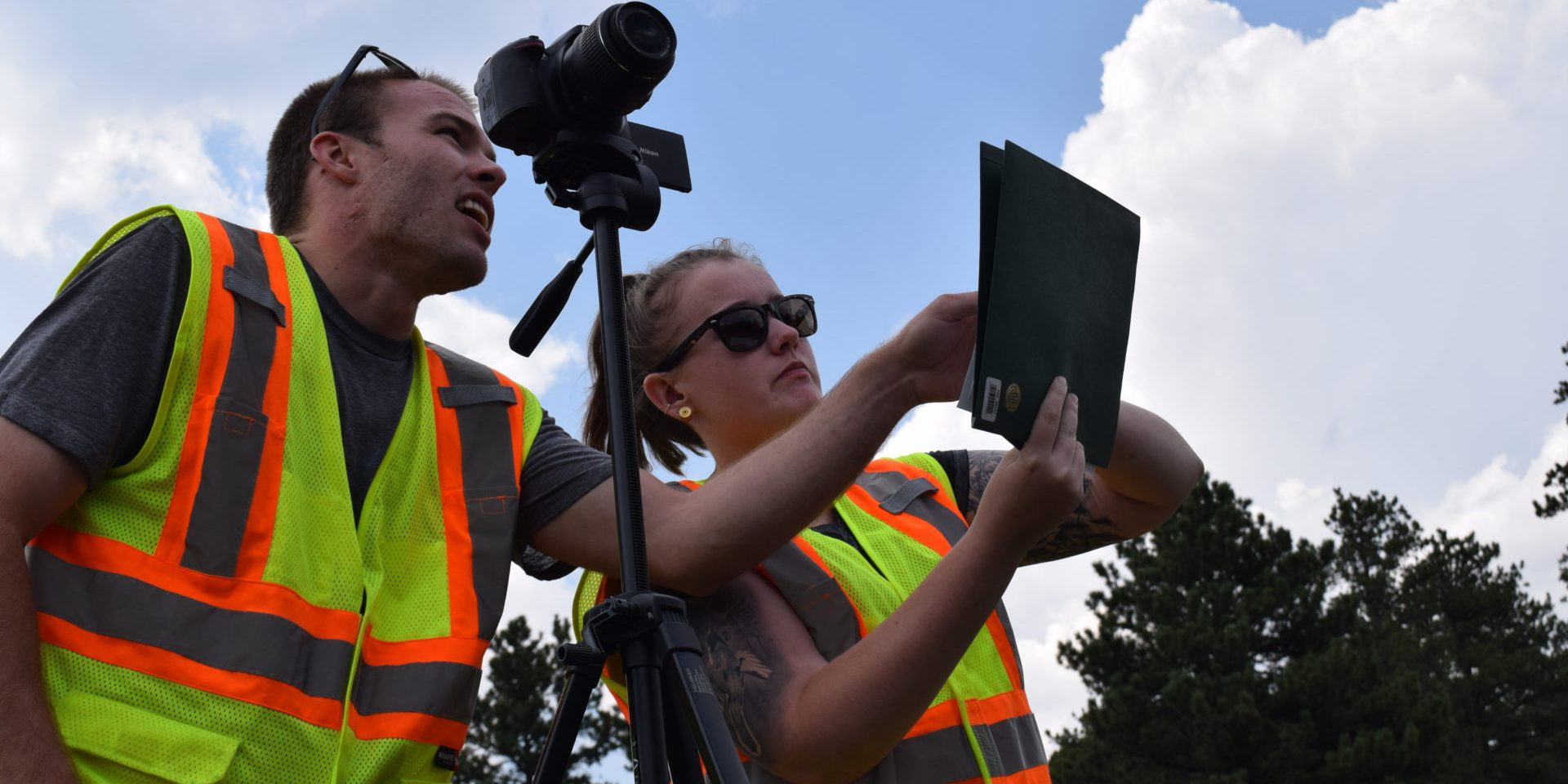
While Rocky Mountain National Park’s map showed approximately 30 pull-offs located up and down Trail Ridge Road, the students surveyed and mapped 124 pull-offs over the course of the workshop. When the team matched up their survey data with information from the park’s archives, they found that while some of the road’s features were well documented, and had plentiful information about what was there and when it was created, others were a total mystery. To address the holes they found, the researchers had to get creative, using the park’s collection of aerial photographs to track alterations in the road, matching specific locations across images from the 1960s, 1980s, and the present day to estimate when certain changes, such as trail paving, had taken place. While useful, the photographs weren’t enough to answer all the students’ questions.
In a further effort to fill in the archival records' gaps, the team also conducted oral histories with retired NPS staff, and interviewed engineer Joe Arnold and landscape architect Larry Gamble who were in charge of major projects along Trail Ridge Road from the early 1980s to the 2000s. To do the interview, students drove the entire length of the road with Arnold and Gamble, learning about the planning and execution of the numerous infrastructure projects the two men had completed. The researchers geo-tagged particular parts of the interview to match up with the features of the landscape being discussed. For historians seeking to unravel the road’s complex history, Arnold and Gamble’s first-hand knowledge was invaluable in understanding changes in some of Trail Ridge Road’s most notable features, such as Rock Cut.
Situated nearly at Trail Ridge Road’s apex, passing through Rock Cut is an awe-inspiring part of any trip through the national park. There, the road’s ribbon of asphalt punches through a gigantic rock wall in a precise rectangle, creating a gateway beyond which visitors behold a soaring vista of the alpine tundra and the Rocky Mountains. This iconic gateway has been built and rebuilt: first by the Civilian Conservation Corps (CCC) in the 1930s, and again in the 1980s, the early 2000s, and 2019. Despite the reconstruction project’s goal of precisely matching the appearance of the historic and rebuilt parts of Rock Cut, the two men identified subtle changes in construction for the research team, pointing out concrete foundations and slightly widened gaps between the laid stone of the road’s retaining walls—tell-tale signs that the walls had been altered since the CCC era. As the students spoke with the two men, they learned to spot these and other small details that helped them interpret the history of the places they studied along the road. As Arnold remarked in his oral history, “... and that’s not something you’ll find in the archives!”
Trail Ridge Road winds through the Alpine Tundra near the park’s apex, July 2013
Finding meaning in place
While archival sources provided an important foundation for the team’s historical research, many of their most important findings relied on researchers being in the field to observe the landscape, collect spatial data, and to conduct in-person interviews while driving on the road itself. Interacting with the people who would ultimately use and apply their research also influenced how the student team thought about their findings and the product they made. The team saw that, unlike academics, park managers rarely have the time to devote to reading lengthy written documents. The team’s choice to produce maps and a database, rather than a formal historical narrative, took into account park managers’ need for speed, ease of interpretation, and efficiency when looking for information about the road’s historic features.
After their week at the park ended, participants noted that the PPL experience provided them with valuable opportunities to lead their own research team, mentor others, spend time in the park, and get to know members of the National Park Service. But it was the knowledge and research that the park intended to use and apply that the team recalled as the workshop’s most significant highlight. As one PPL participant noted, “Pulling together something that… the park can actually use in the future was really exciting.” Reflecting on the experience, students wanted prospective PPL participants to know, “They’ll probably be pushed to try new things, and although that’s scary, it is extremely rewarding to learn new skills and see their true potential.”
The PPL workshop’s leadership team is already looking ahead to PPL 2020. The coming year represents an opportunity to continue to push the boundaries of what place-based history can do for park managers, and to expose a new group of students to questions and challenges that can only be answered from within the national parks.
Long Exposures: Repeat Photography and Parks as Portals to Learning can be found on Mountain Scholar at https://hdl.handle.net/10217/194985. For more information about the Public Lands History Center and news about upcoming editions of the Parks as Portals to Learning field workshop, please visit our website at https://publiclands.colostate.edu/. The Public Lands History Center is special unit of the Department of History and an Office of the Vice-President for Research (OVPR) Program of Research and Scholarly Excellence.

